

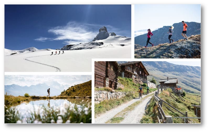
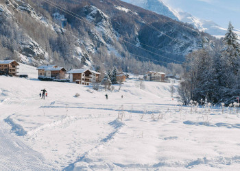
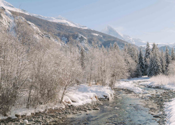
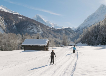
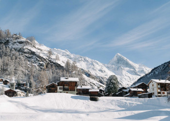
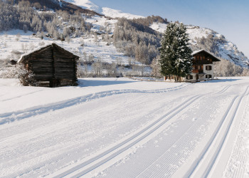
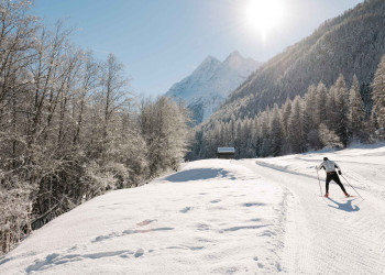
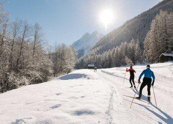
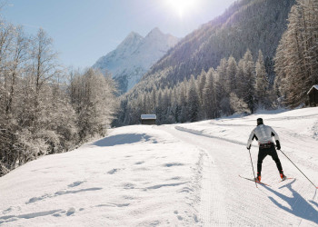
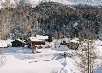
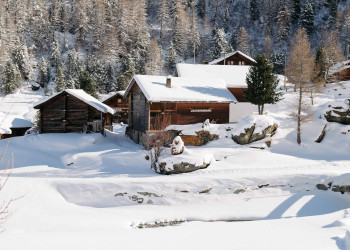
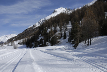
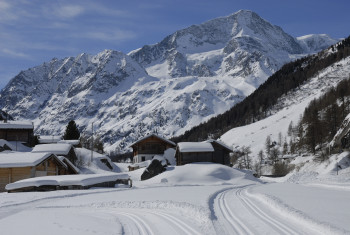
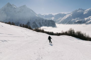
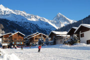
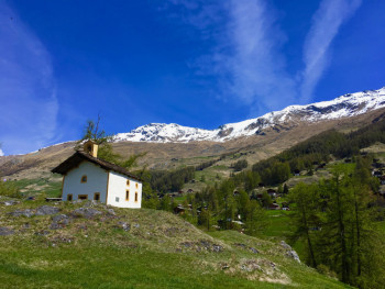
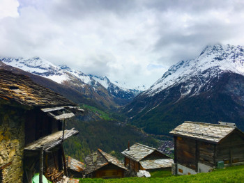
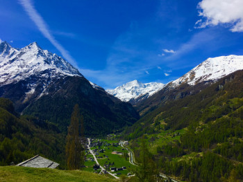
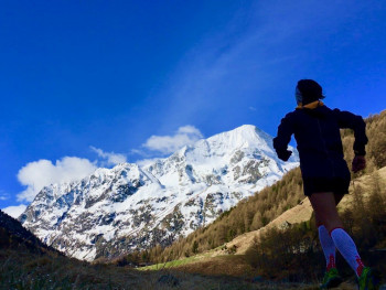
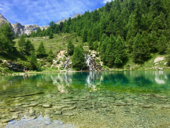
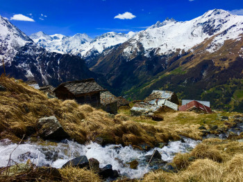
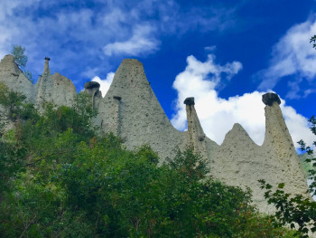
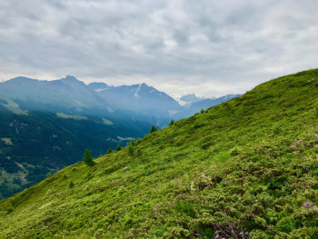
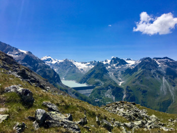
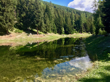
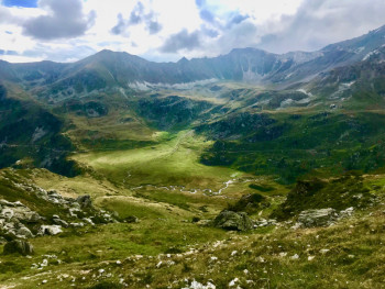
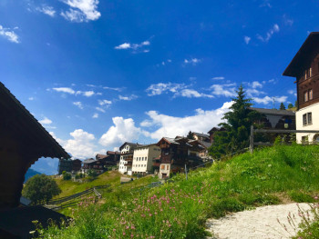
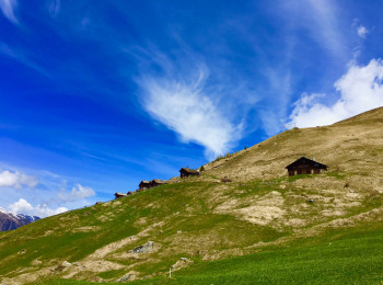
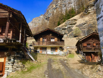
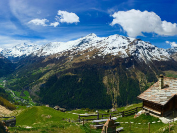
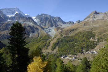
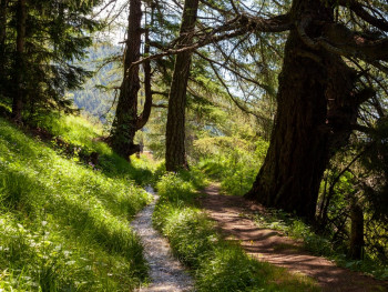
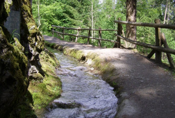
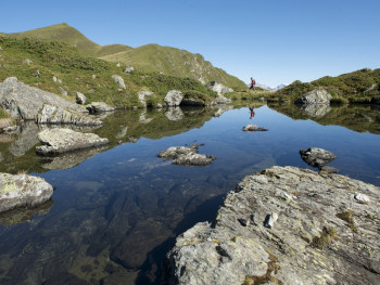
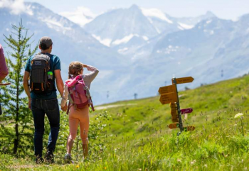
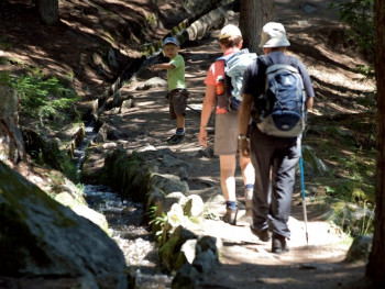
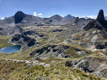
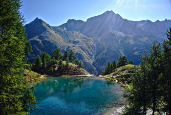
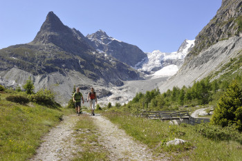
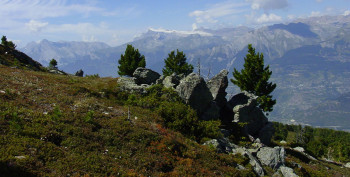
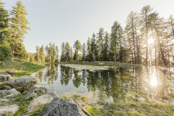
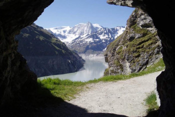
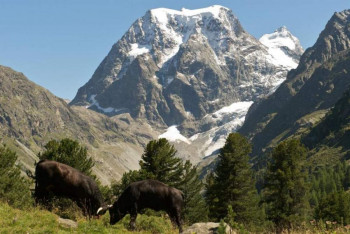
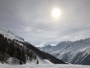
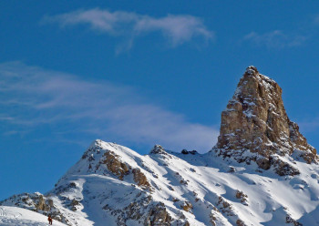
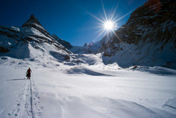
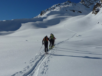
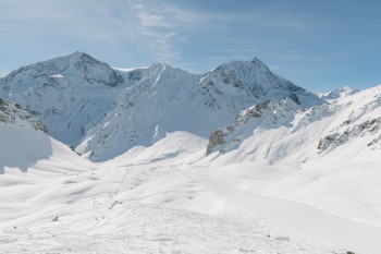
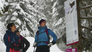
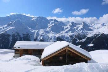
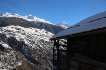
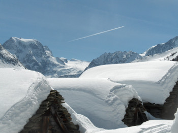
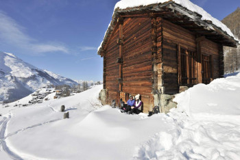
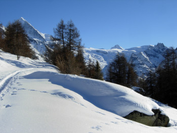
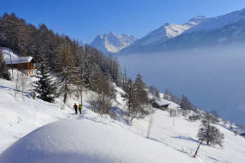
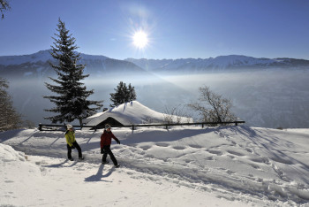
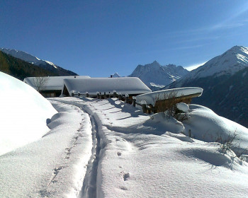
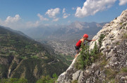
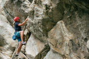
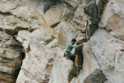
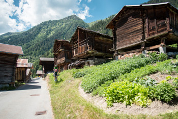
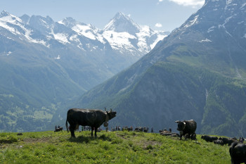
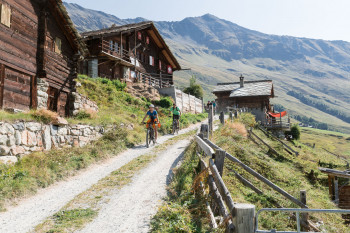
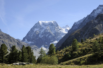
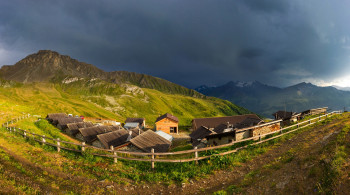
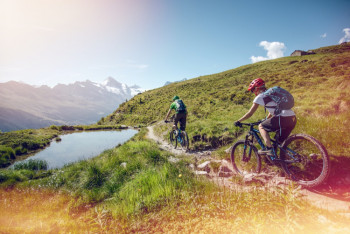
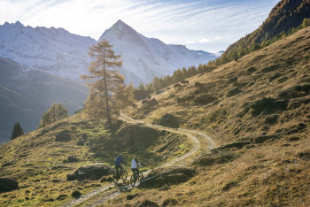
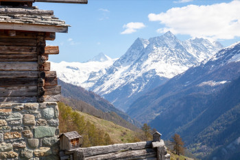
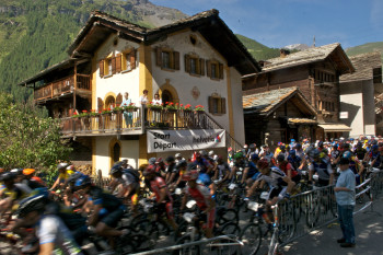
Situé au cœur du Valais, le Val d'Hérens brille par son patrimoine bâti et culturel. Dans une nature sauvage et préservée, vous pourrez vous adonner aux différentes activités sportives qui vous sont proposés toute l'année.
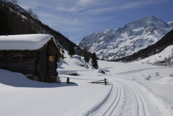
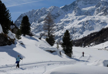
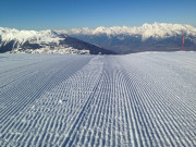
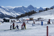
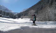
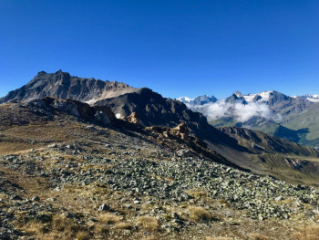
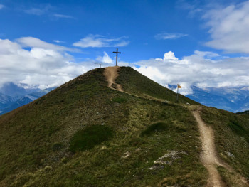
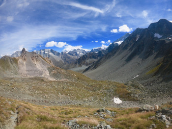
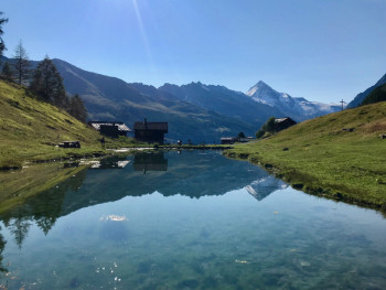
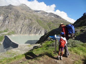
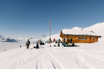
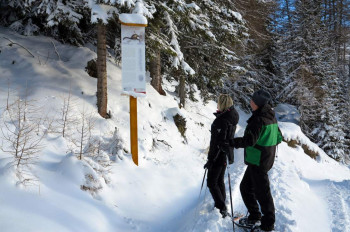
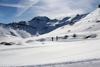
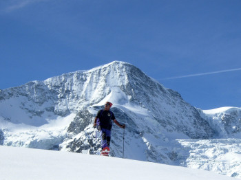
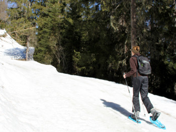
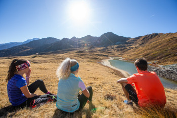
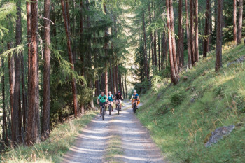
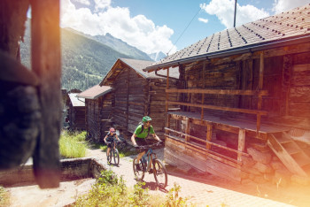
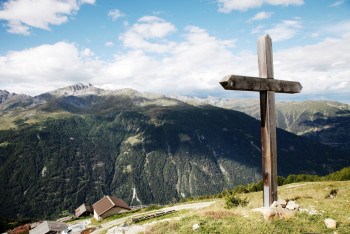
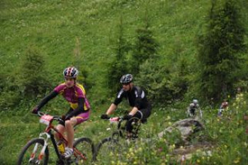
Outdoor Experiences Val d'Hérens vous propose de nombreuses activités aussi bien l'été que l'hiver, dont le Trail, la randonnée, le VTT, le ski de rando, les raquettes à neige pour profiter pleinement de la destination.


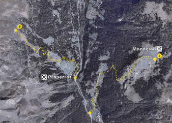
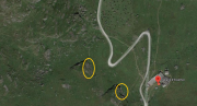
8.2km 590m 590m
Parcours ouvert
13.9km 780m 490m
Parcours ouvert
11.1km 910m 910m
Parcours ouvert
15km 970m 970m
Parcours ouvert
4.3km 170m 170m
Parcours ouvert
6.3km 160m 120m
Parcours fermé
19.8km 840m 840m
Parcours ouvert
7km 240m 550m
Parcours ouvert
10.3km 540m 540m
Parcours fermé
12.7km 1010m 1030m
Parcours ouvert
7.8km 440m 440m
Parcours ouvert
14.8km 700m 700m
Parcours ouvert
10km 690m 690m
Parcours ouvert
7.4km 480m 480m
Parcours ouvert
11.1km 840m 840m
Parcours ouvert


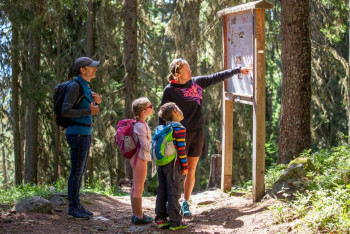
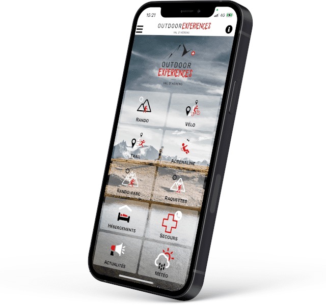
Avec cette application embarquez les itinéraires d'Outdoor Experiences Val d'Hérens dans votre smartphone. Découvrez de nombreuses fonctionnalités :
- Mise en cache des cartes et parcours pour une utilisation hors connexion réseaux ;
- Localisation à tout moment sur la carte et le profil grâce au GPS de votre smartphone
- Alerte de sortie d'itinéraire
- Météo à Evolène
- Ajout de réalisations, signalements
- Participation aux DéfiTrail
- Horaires des transports en bus de la Vallée
- ...
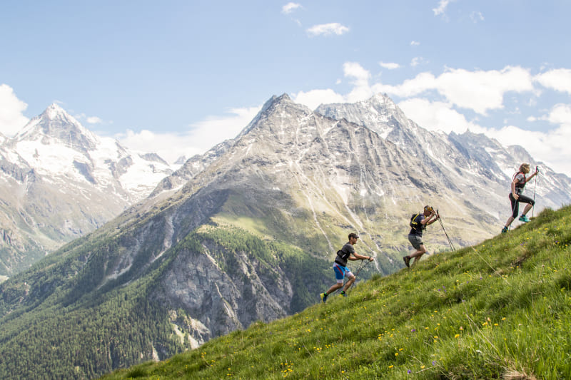
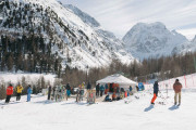
Venez vous mesurer sur les parcours Défi d'Alpes Trail Val d'Hérens ! Cinq parcours qui vous permettront de vous mesurer aux autres pratiquants.
Comment ça fonctionne ? Des balises conçues pour interagir avec votre smartphone sont positionnées sur le parcours et vont détecter automatiquement votre passage.A proximité de la première balise, lancez le défi en cliquant sur "Go!" et réalisez le parcours. La dernière balise arrêtera automatiquement le chrono. Vous n'aurez plus qu'à partager votre chrono. À vous de relever le défi !


les sentiers numériques


![]()
Infos & contacts
Saint Martin Tourisme
Rue de l’Église 7
1969 SAINT MARTIN (SUISSE)
+41 (0) 27 281 24 74
trail@valdherens.ch

